Technology
Cost-effective early detection and real-time mapping with risk assessment and forecasting services
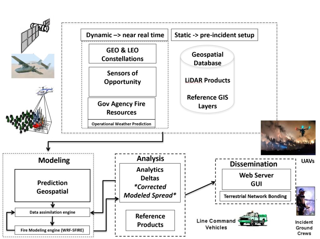
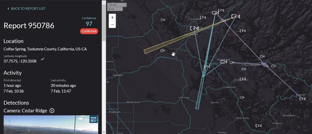
EarthSight integrates satellite remote sensing with imagery from cameras on towers, UAVs and aircraft. It then distributes this data, via its proprietary AI/ML platform, to disaster management agencies and personnel in the field.

Real-time mapping is enabled via a powerful user-interface for detection, visualization and situational management.

