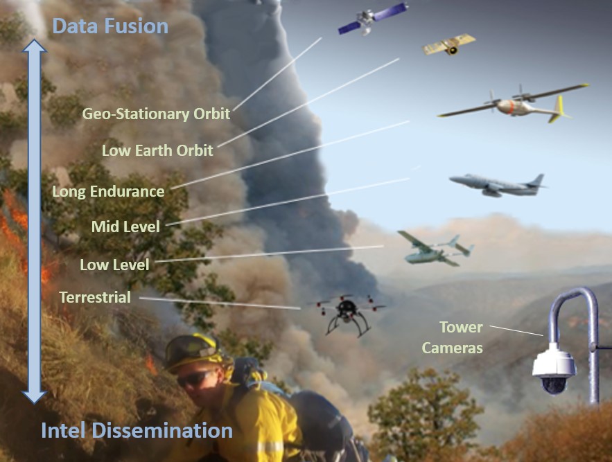
Current disaster management services are often limited by the assets they draw the data from and by the accuracy, cadence and “shelf-life” of the intel they deliver.
EarthSight offers “Analysis-Ready Data,” from multi-altitude coverage of broad areas, for timely and mission-critical decisions in the field.

An integrated data network
Live data with a network of assets from ground cameras to geo-stationary satellites

Real-time mapping
A powerful user-interface for visualization and tracking of fires
Contact us
We’d love to hear from you. Email us at:
